promptpeep
#3d-game-characters #ai-avatars #anime-cartoon #art-styles-paintings #brand-identity-kits #cars-vehicles #characters-sci-fi-fantasy #couple-family-photo-prompts #emoji-stickers #fantasy-maps-d-d #interior-architecture #lingerie-bikini #logos-graphic-design #men-boys-photo-prompts #product-food-photography #professional-headshots #profile-pictures-selfies #realistic-photography #social-media-covers #tattoo-designs #wallpapers-backgrounds #women-girls-photo-prompts
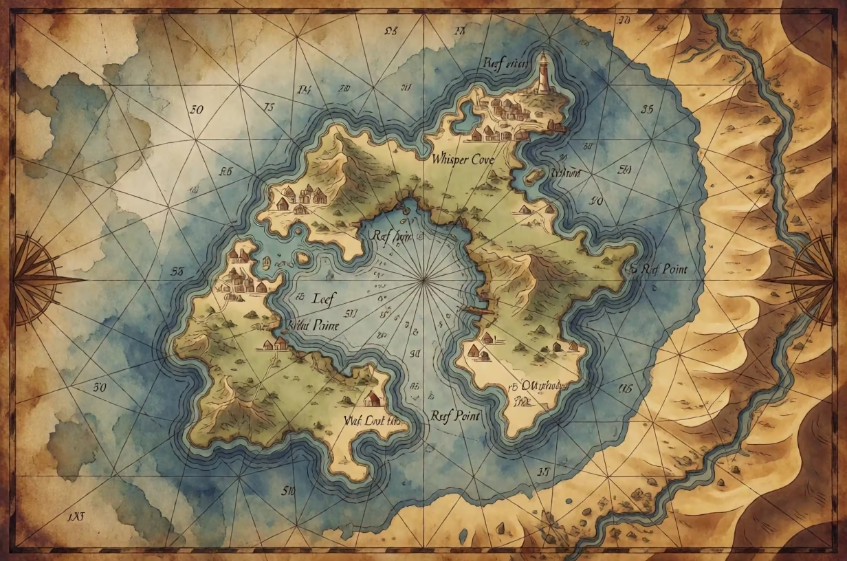
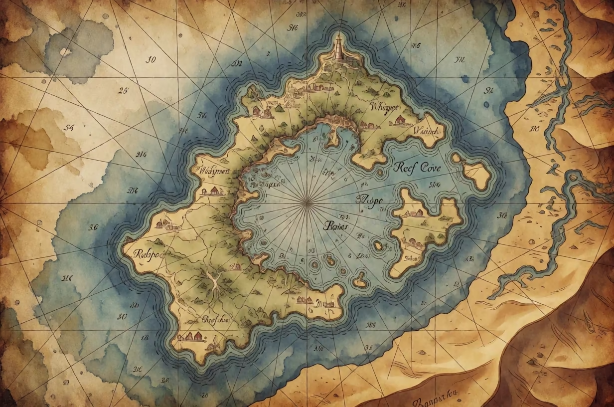
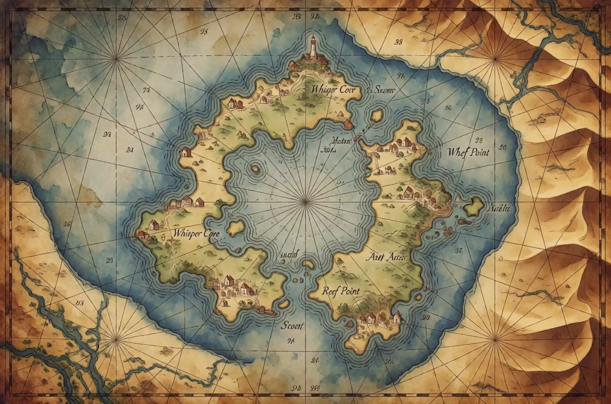
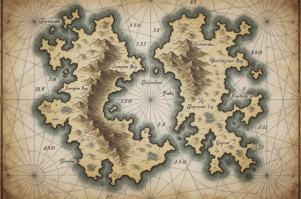
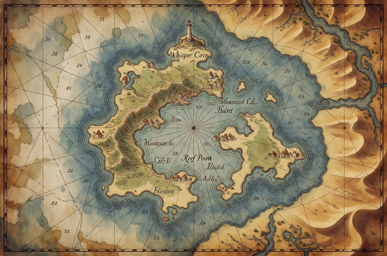
Top-down island nautical chart with depth numbers, surrounded by desert dunes and dry riverbeds. Top-down island nautical chart with depth numbers, surrounded by desert dunes and dry riverbeds. Top-down island nautical chart with depth numbers, surrounded by desert dunes and dry riverbeds. Top-down island nautical chart with depth numbers, surrounded by desert dunes and dry riverbeds.

Similar prompts

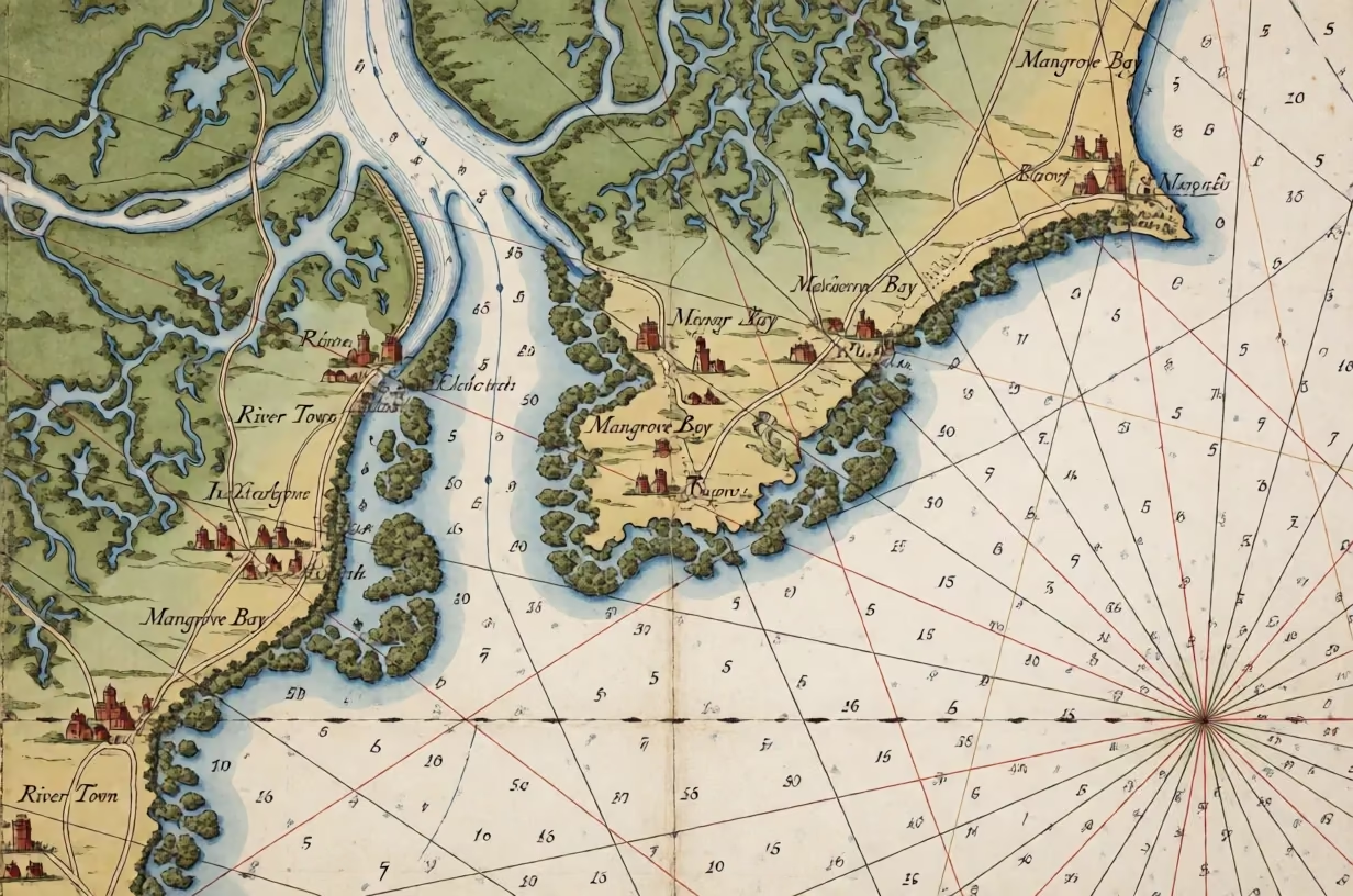
Old nautical chart style map showing swamps, mangroves, towns, and rhumb lines.

Dnd Maps: Old Nautical Chart of Coastal Swamps

Fantasy Maps & D&D
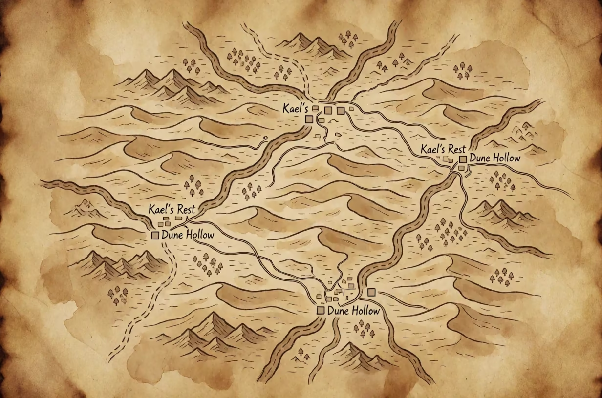
Top-down view of a sepia fantasy map on parchment showing desert dunes and towns.

Fantasy Map of Arid Desert Regions on Parchment

Fantasy Maps & D&D
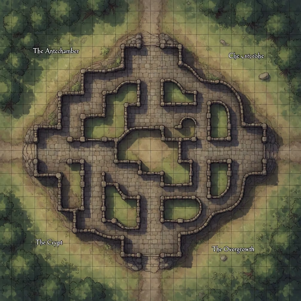
Top-down digital battle map of a stone dungeon with a square grid, surrounded by green forests and meadows.

Character Map Generator: Top-Down Dungeon Grid with Forest Border

Fantasy Maps & D&D
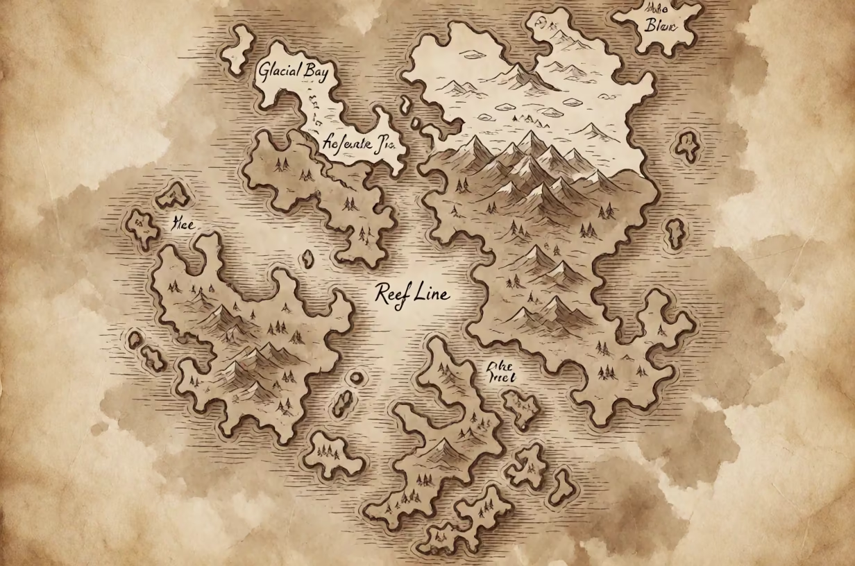
Sepia ink island map on parchment with coves, reefs, and frozen tundra glaciers.

AI Fantasy Map Generator: Sepia Island with Glaciers

Fantasy Maps & D&D
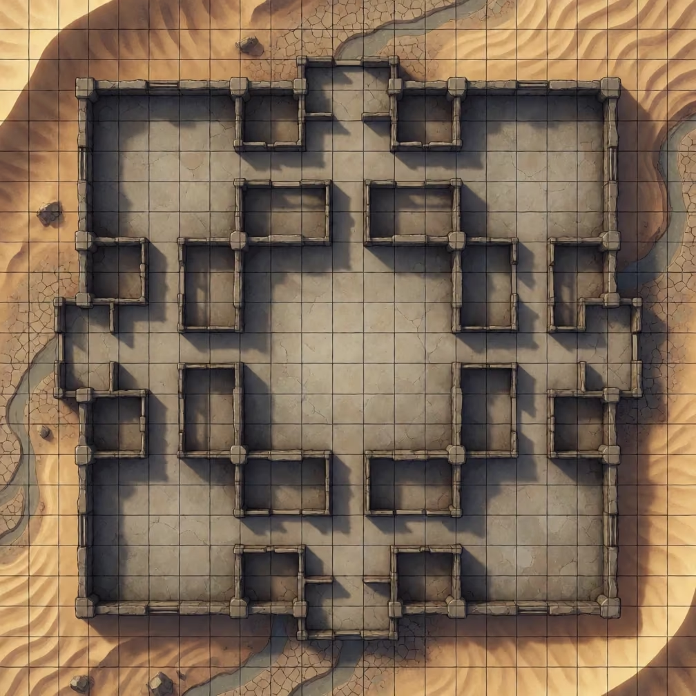
Digital dungeon map with grid, soft shadows, and desert surroundings.

3D Dungeon Naksha with Desert Dunes

Fantasy Maps & D&D
Old nautical chart of a fictional island with coves, reefs, and depth numbers.

Fictional Island Character Map with Secret Inlet and Hatched Peaks

Fantasy Maps & D&D
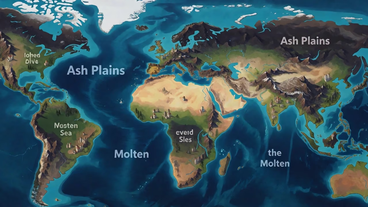
Isometric world map with volcanic ash, lava rivers, and small buildings in digital painting style.

Deep Fantasy Map with Lava Rivers

Fantasy Maps & D&D
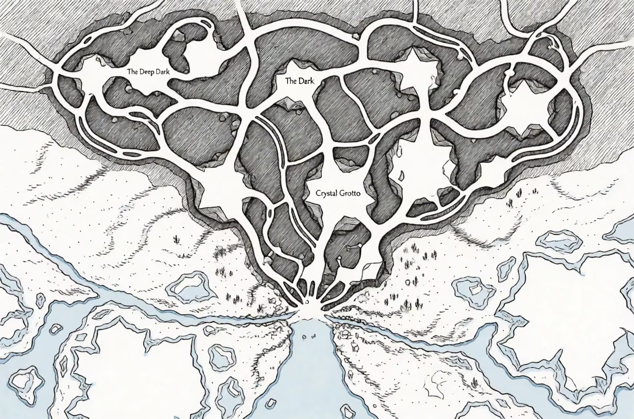
Black ink map of a cave system and frozen tundra with hatching

Fantasy Map of Cave System and Frozen Tundra

Fantasy Maps & D&D
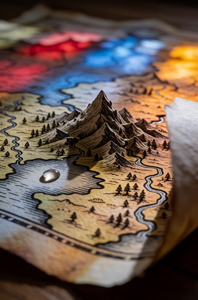
Macro shot of a fantasy map with a detailed mountain peak and colored light

Macro Fantasy Map with Dewdrop on Lake

Fantasy Maps & D&D
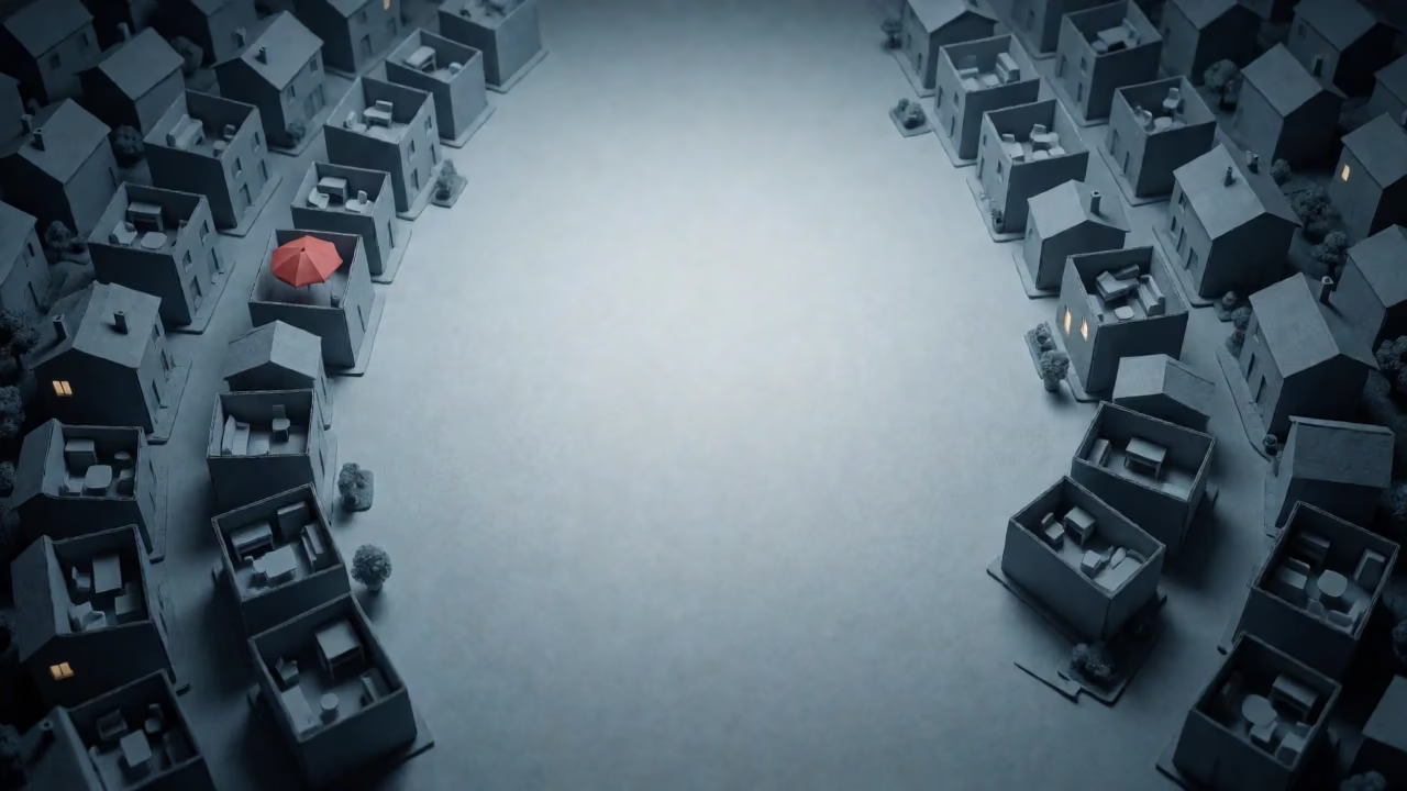
Aerial view of a blue-grey miniature town with a red umbrella and warm window light.

3D Model Town Video Call Background

Wallpapers & Backgrounds
Sage green wordmark logo with stained-glass landscape inside a leaf shape

Sage Green Leaf Wordmark with Stained Glass Landscape

Logos & Graphic Design
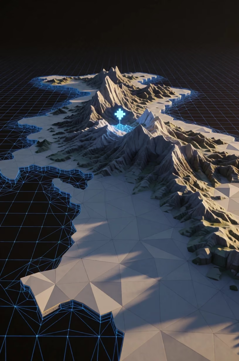
3D fantasy map with rock textures and wireframe grid, viewed from below

Fantasy World Map in Felt and Wireframe

Fantasy Maps & D&D
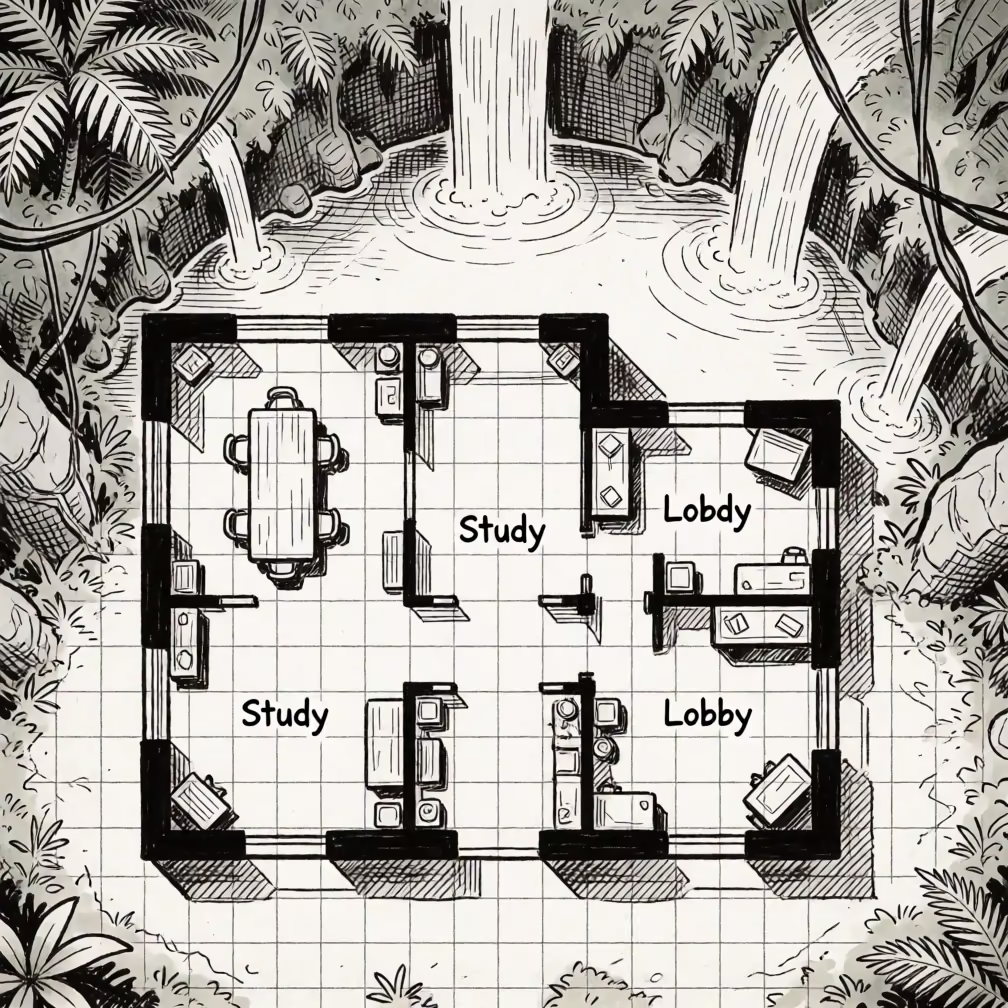
Top-down interior battle map with black ink lines and hatching, surrounded by jungle and waterfalls.

3D Map Art: Ink Interior Battle Plan with Jungle

Fantasy Maps & D&D
Pixel art lighthouse with glowing firefly spirits at night

Pixel Art Lighthouse with Green Firefly Spirits

Art Styles & Paintings
Neon pink and lime turtle mascot logo with metallic embossed edges

Neon Sea Turtle Graphic Design

Logos & Graphic Design

3D Map Art: Island Nautical Chart with Desert Backdrop

A top-down island map styled as an old nautical chart with depth numbers and a lighthouse, surrounded by desert dunes.

Illustrator 3D Map Art Prompts

Prompt Oct 24, 2026 · English
Top-down view from directly above of an island map featuring coves, coral reefs, and a secret inlet, styled like an old nautical chart with depth numbers and rhumb lines radiating from the compass rose. The map uses a parchment texture with aged stains and faded ink colors, primarily in shades of sepia, blue, and ochre. The island is detailed with topographical contours, small towns marked by tiny house icons, and a lighthouse at the northern tip. Short invented names like 'Whisper Cove' and 'Reef Point' are written in an antique script font. The background surrounding the island shows desert dunes and dry riverbeds, rendered with the same aged parchment style, creating a surreal contrast between the maritime chart and the arid landscape. The composition centers the island, with the rhumb lines extending to the edges of the frame, intersecting with the desert terrain. The lighting is uniform, simulating the flat illumination of a printed chart, with subtle vignetting at the corners to enhance the vintage feel. Digital illustration style mimicking antique cartography, with visible paper grain, ink bleed effects, and a weathered look that suggests age and history.
Aspect ratio
3:2
LoRA
None
Steps
8
Megapixels
1.0

Why this prompt works

This prompt creates a surreal map by combining a traditional nautical chart with a desert landscape, using an aged parchment style to unify the disparate elements.

Subject

island map featuring coves, coral reefs, and a secret inlet, styled like an old nautical chart

Change: replace island map with continent map — expands the scale to show a larger landmass with multiple countries and borders.

Scene

The background surrounding the island shows desert dunes and dry riverbeds

Change: replace desert dunes and dry riverbeds with ocean waves and sea foam — returns to a standard maritime background with detailed water rendering.

Framing

Top-down view from directly above

Change: replace Top-down view from directly above with Slightly tilted perspective — adds a subtle three-dimensional feel to the parchment, making it look like a physical object on a table.

Light

The lighting is uniform, simulating the flat illumination of a printed chart

Change: replace uniform with candlelight from the top right — introduces a warm, flickering light source with soft shadows, enhancing the antique atmosphere.

Style

Digital illustration style mimicking antique cartography, with visible paper grain, ink bleed effects, and a weathered look

Change: replace antique cartography with modern minimalist vector art — updates the style to clean, flat colors with sharp lines and a contemporary design.

Variations
  • replace secret inlet with hidden cave system — adds a subterranean element to the map, with tunnels and chambers drawn in cross-section.
  • replace depth numbers and rhumb lines with wind direction arrows and current maps — focuses on meteorological data instead of navigation aids.
  • replace desert dunes and dry riverbeds with arctic ice and glaciers — changes the background to a frozen landscape with blue ice and snow.