Prompt
· English
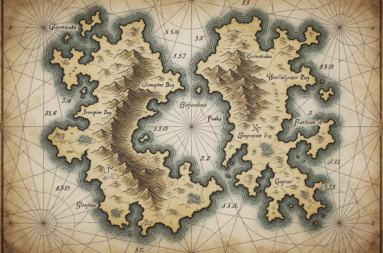
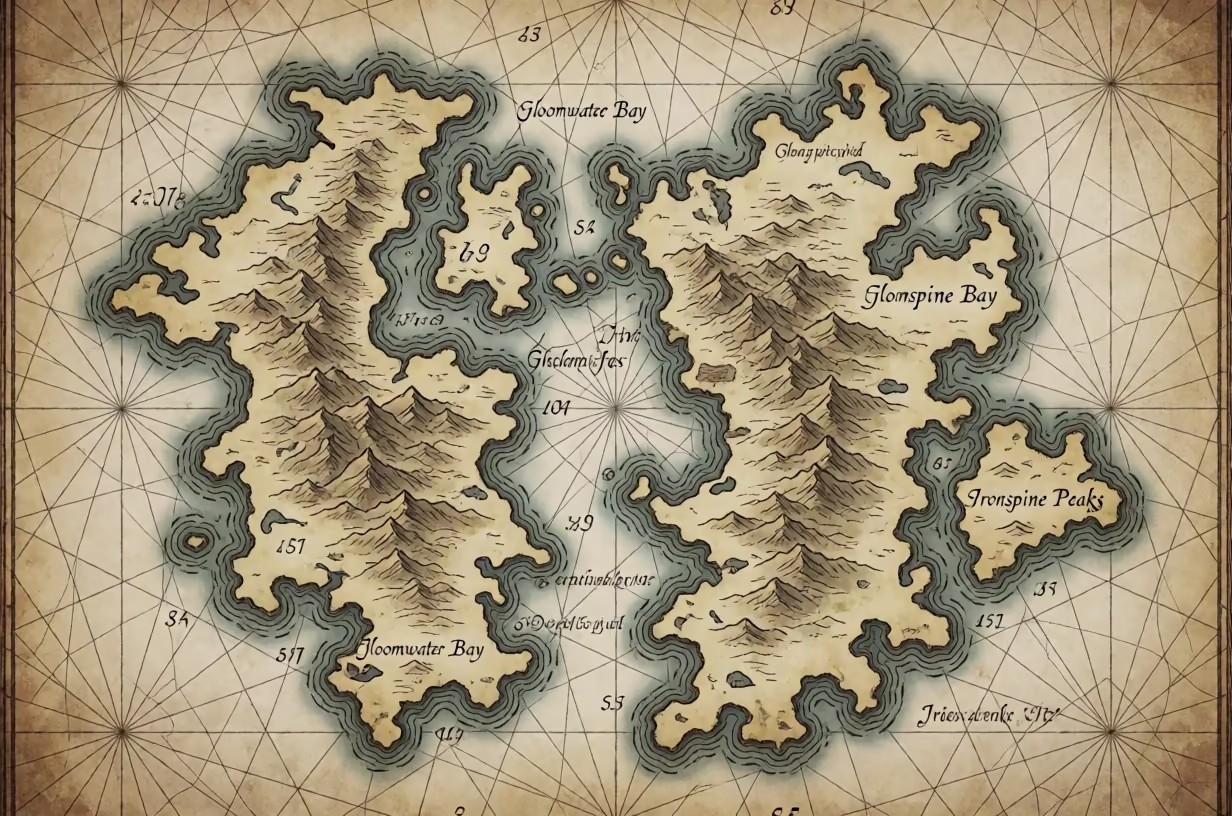
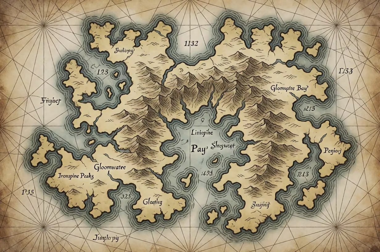
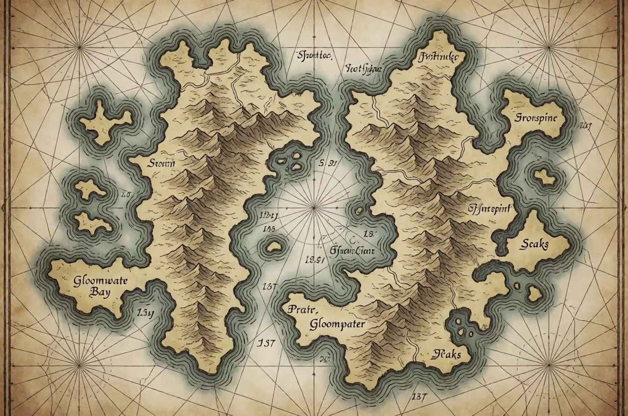
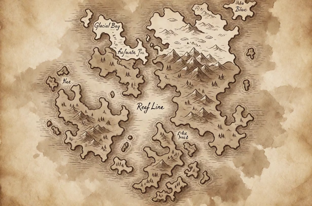
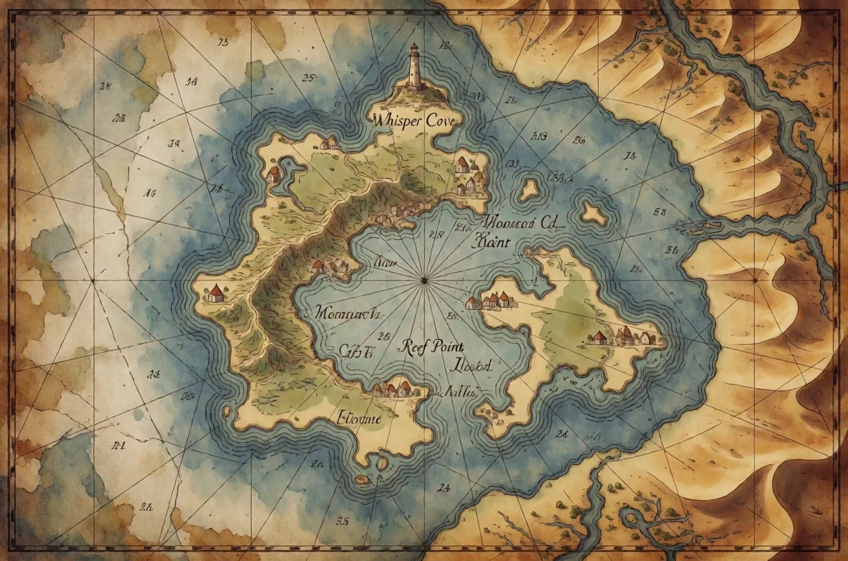
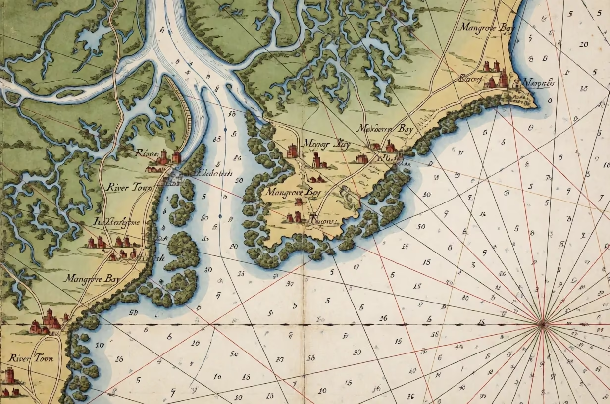
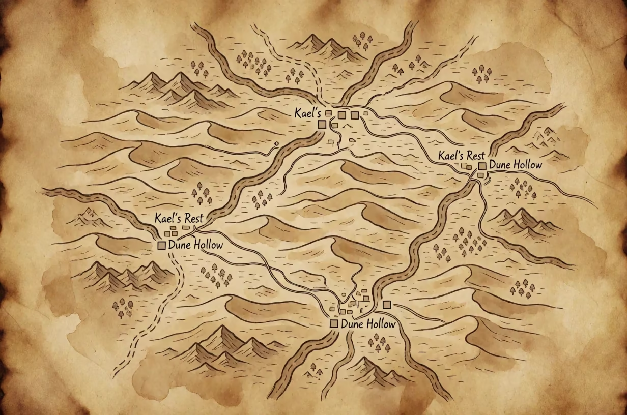
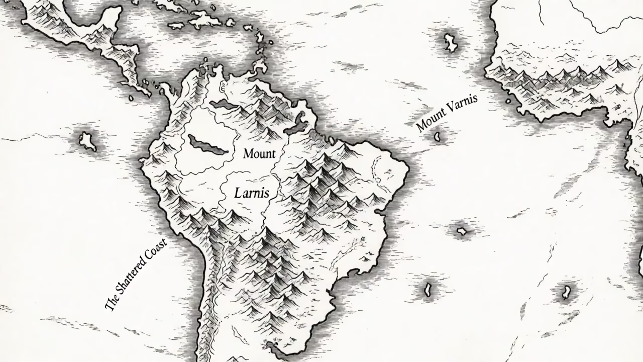
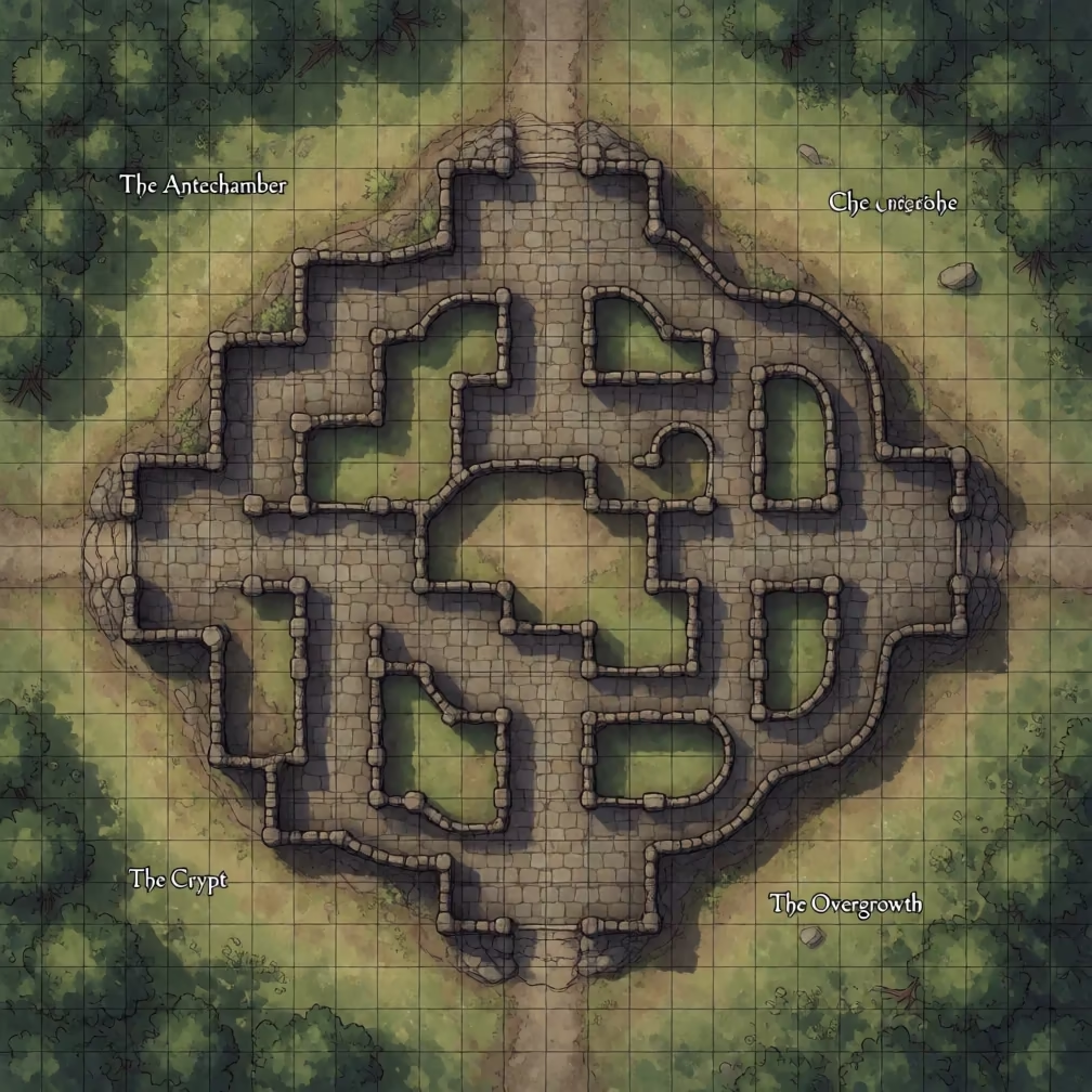
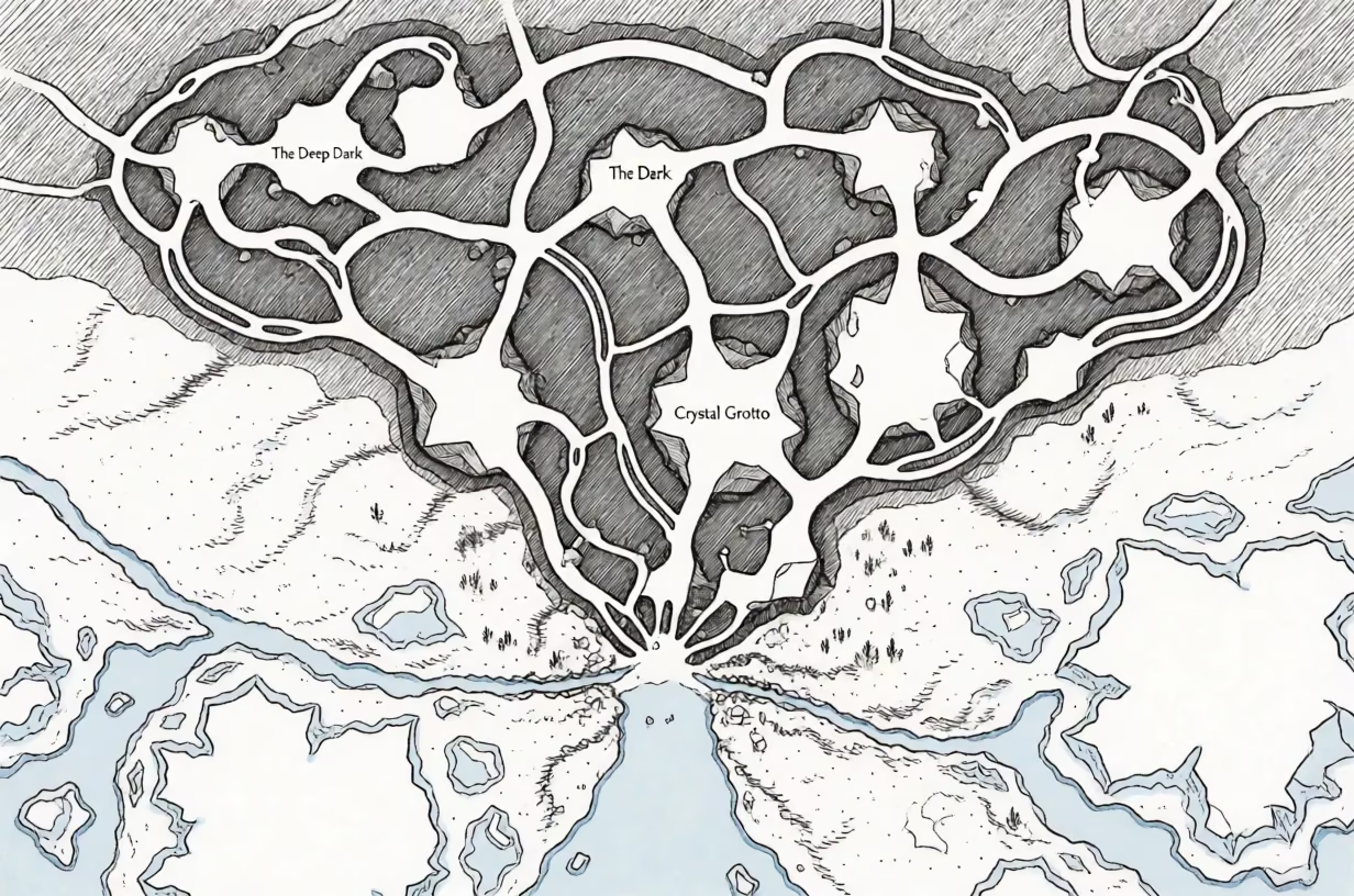
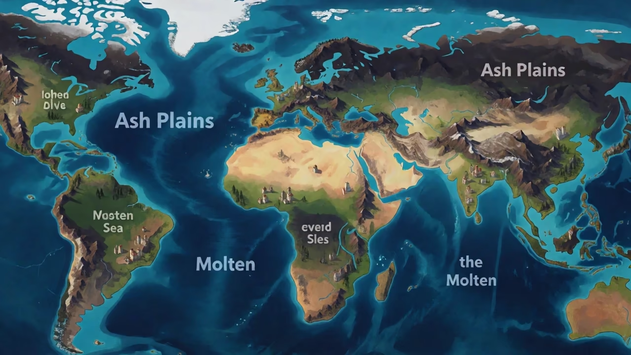
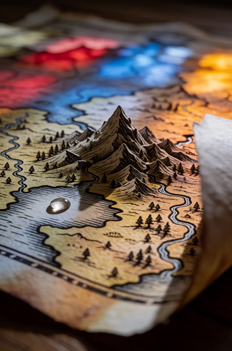
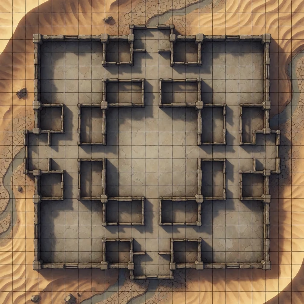
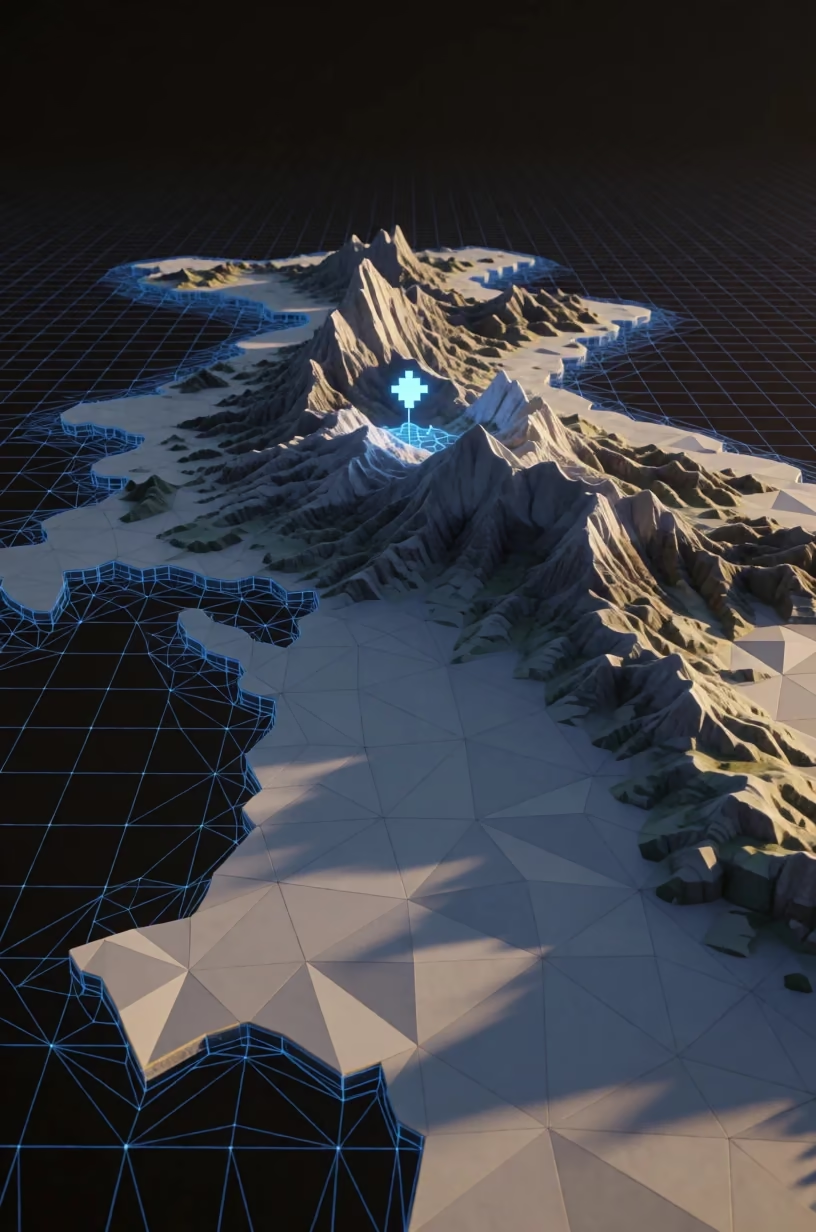
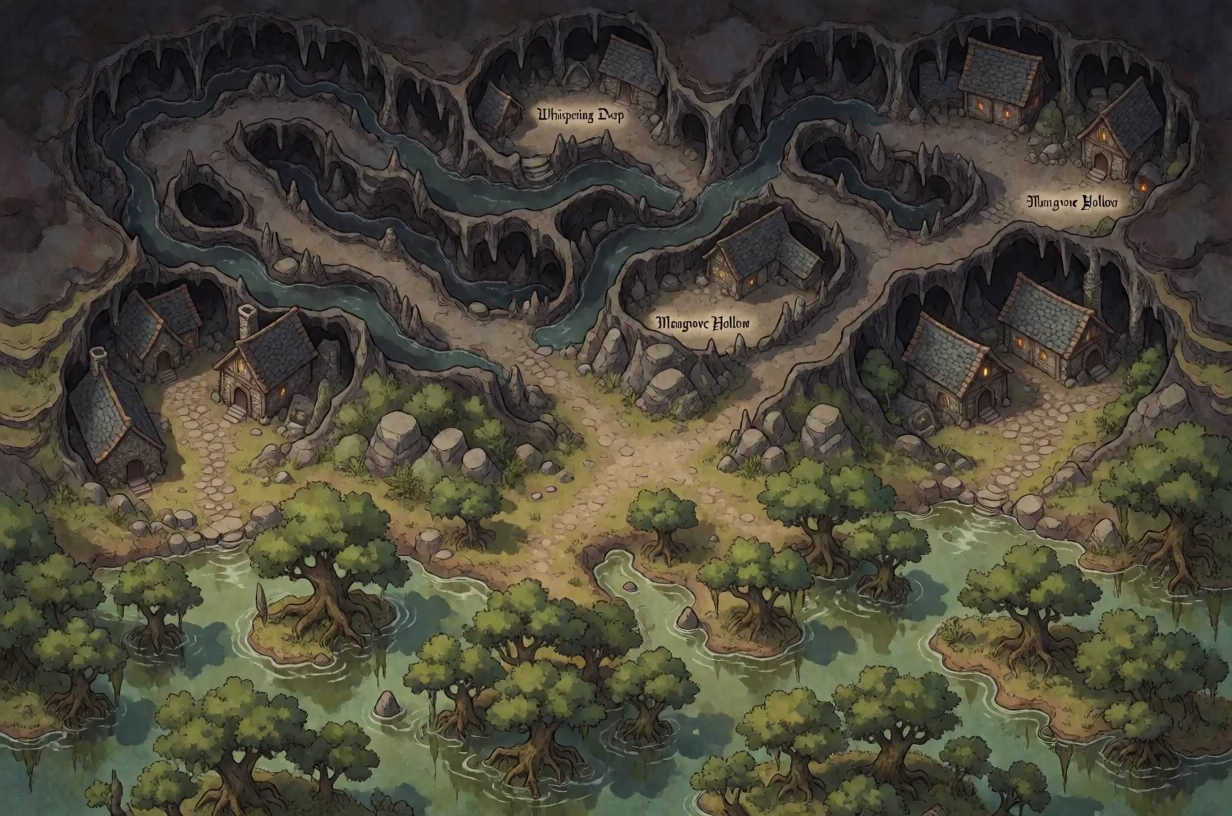
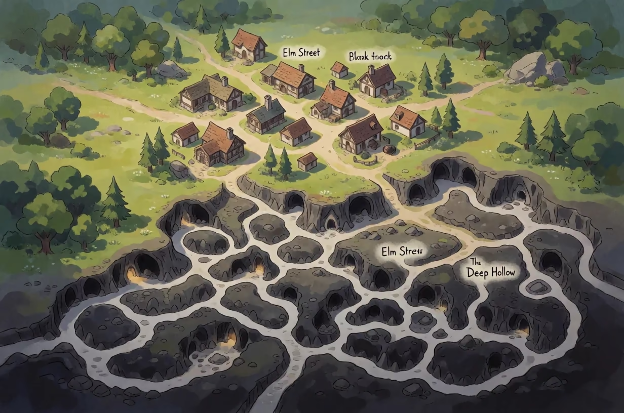
Top-down map view from directly above of a fictional island featuring jagged coastlines, deep coves, coral reefs, and a concealed secret inlet. The map is styled like an old nautical chart, displaying faded parchment tones, depth numbers in a serif font, and radiating rhumb lines connecting the compass rose to the edges. High mountains are depicted with hatched shading in the interior, while deep canyons are marked with dark contour lines. Short invented labels in an archaic script name locations such as 'Gloomwater Bay' and 'Ironspine Peaks'. The composition fills the entire frame with the cartographic details, ensuring every area, road, and landmark is drawn in a consistent style. The light is even and flat, mimicking the illumination of a printed document, with subtle vignetting at the corners to suggest age. The medium is a hand-drawn illustration on textured paper, showing visible ink strokes, slight discoloration, and the grain of aged parchment.