Dnd Maps: Old Nautical Chart of Coastal Swamps
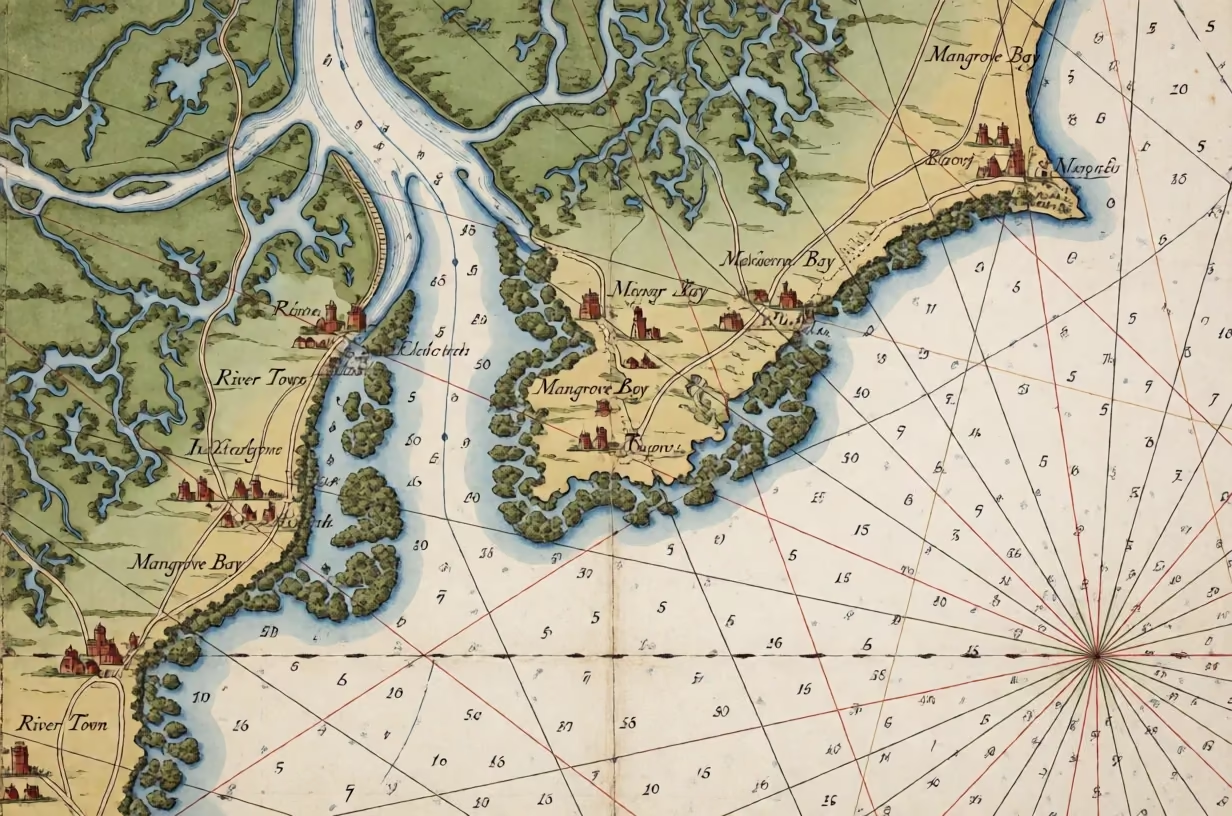
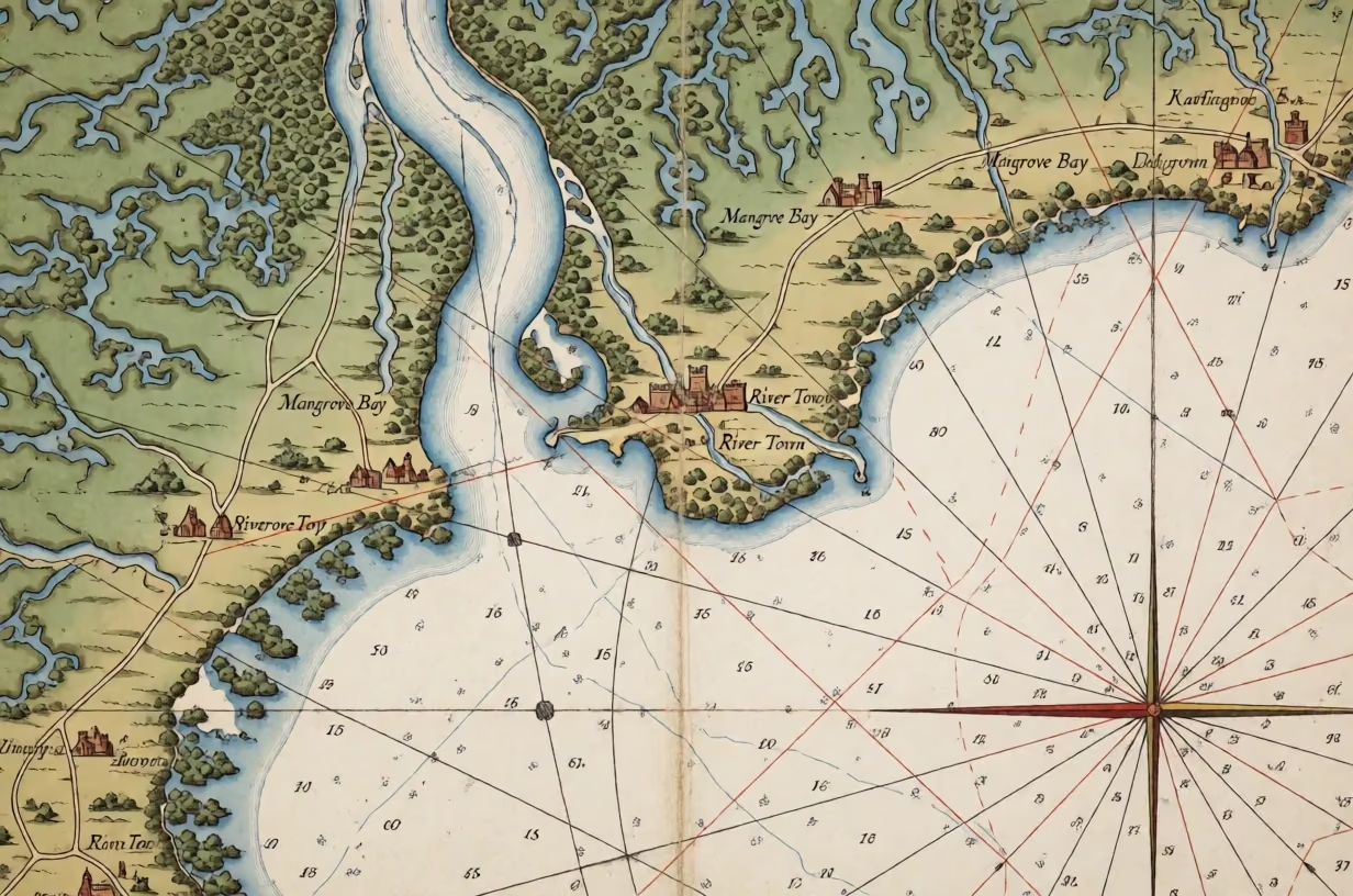
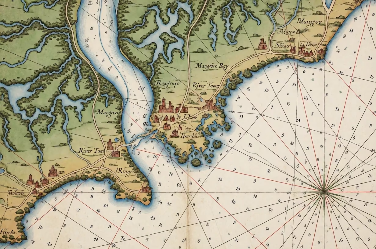
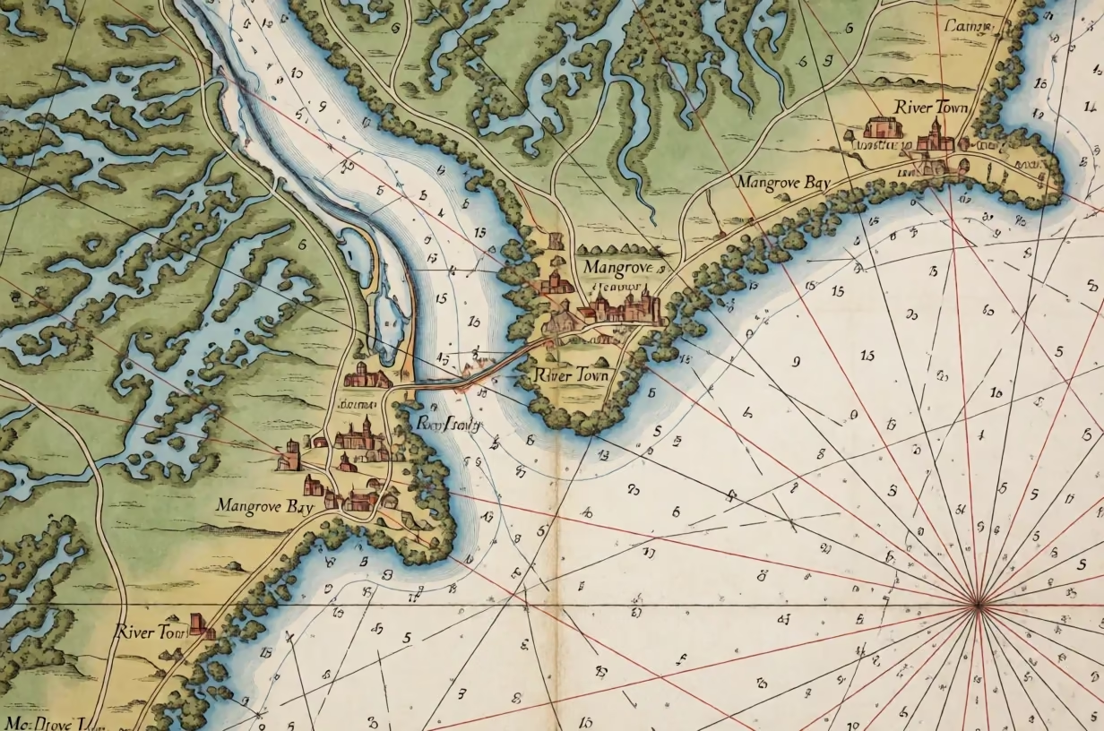
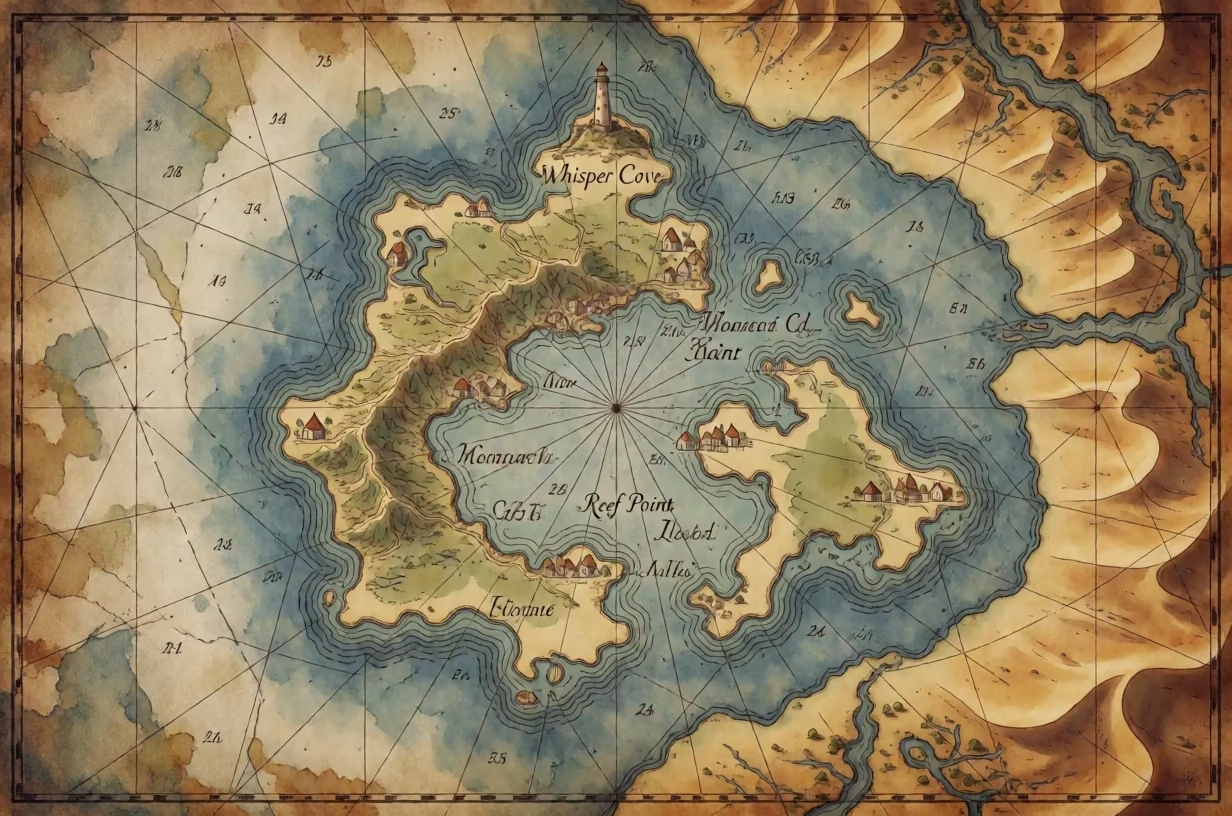
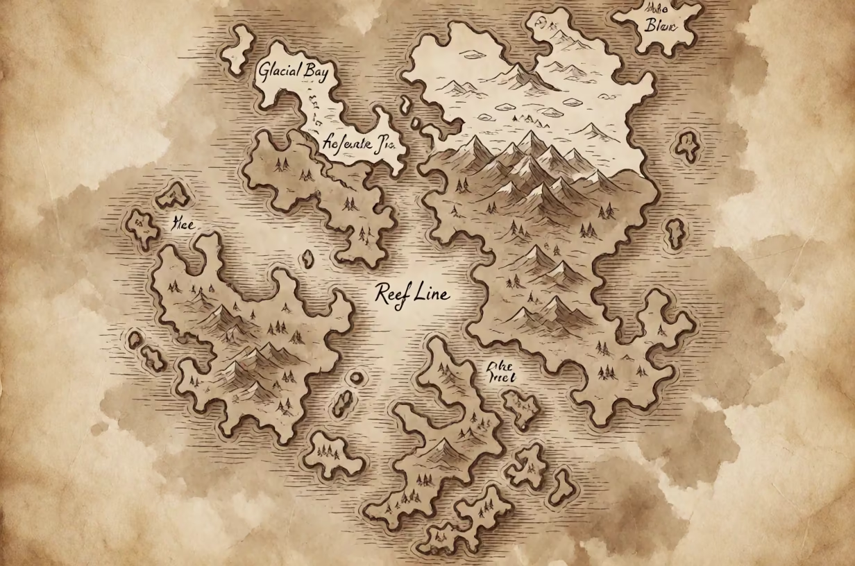
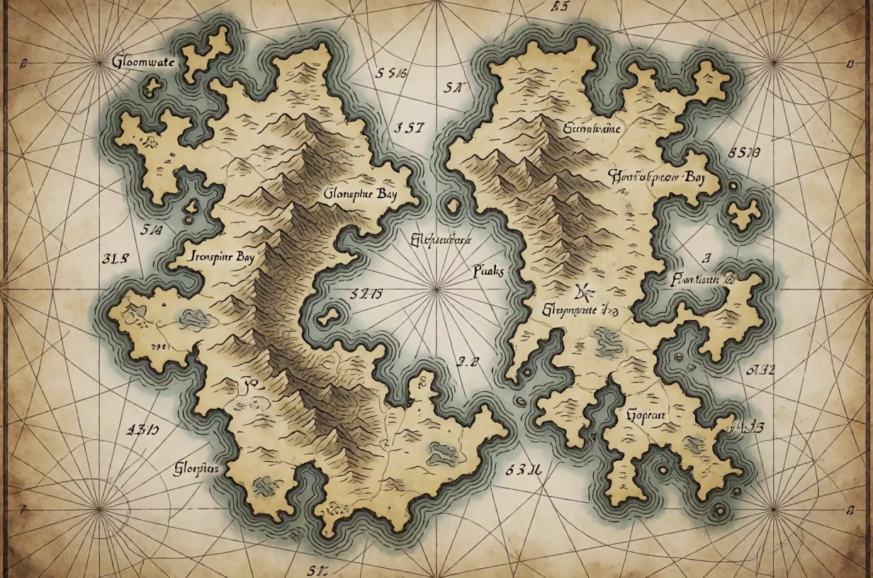
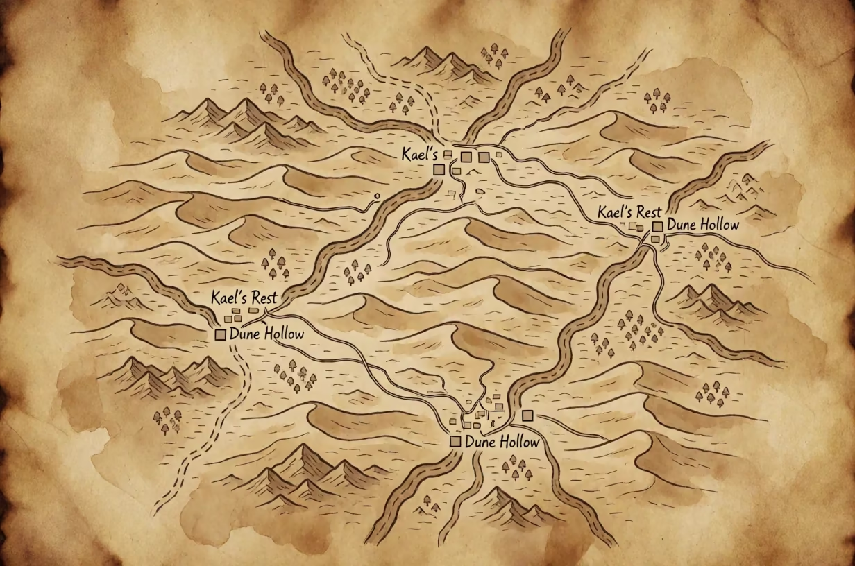
Top-down regional map styled as an old nautical chart showing swamps, mangroves, towns, rivers, and rhumb lines.
AI Fantasy Map Prompts
Prompt
· English
Top-down view from directly above of a regional map styled like an old nautical chart, depicting a coastal area with swamps, mangroves, towns, rivers, and roads. The water is rendered in light blue with depth numbers written in small black digits scattered across the ocean areas. Rhumb lines radiate from a compass rose in the corner, crossing the water in thin red and black lines. The landmasses are colored in muted greens and browns, with dense clusters of mangrove trees drawn as small, bushy glyphs along the coast. Towns are marked with small castle or house icons and labeled with short invented names like 'Mangrove Bay' and 'River Town' in a formal, serif font. The composition is balanced, with the compass rose in the bottom right and the main river flowing from the top left to the center. The light is uniform and bright, highlighting the details of the ink and the paper texture. The medium is an old nautical chart, featuring the look of faded ink, creased paper, and the precise, technical layout of a historical navigation tool.